Contact

A HARDWARE-AGNOSTIC LAYER OF EMBODIED AI

We Don’t Build Drones.
We Build Their Brains.

We’re developing an aerial intelligence layer that connects mission goals, spatial understanding, and adaptive decisions.

Mission Progress

Status

  • Assess Coverage
  • Select Viewpoint
  • Capture Evidence
  • Verify Observations

Adaptive Mission Decisions

Identifies missing observations

Risk-Aware Navigation

Spatial Understanding

Builds a task-relevant view of geometry, visibility, and uncertainty

Mission Objective

Capture all required antenna views...

UAV Platform

Start Mission

Experience-Driven Improvement

Flight data and feedback inform ongoing system development.

Mission-Level Decisions

Evaluates context and mission goals to determine the next useful action.

Give the Drone a GoalNot Just a Route

From predefined paths to mission-aware decisions.

Define the Goal
Guide the Decisions

NOT AN AI WRAPPER

Intelligence Built Into the System.
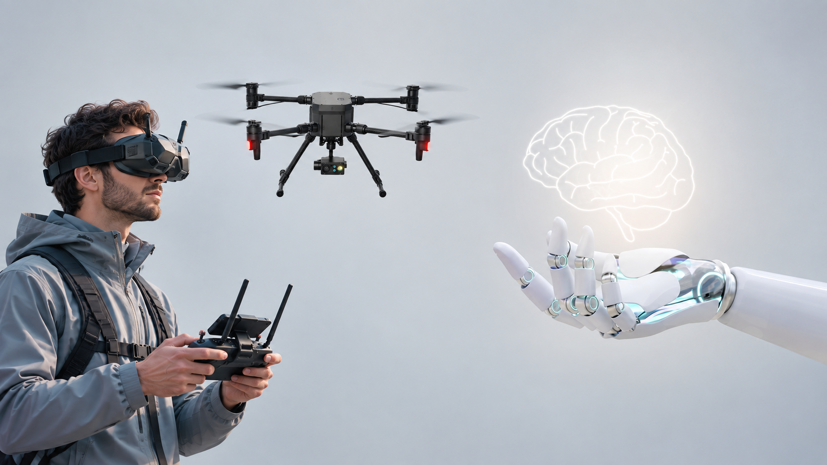
A pilot in FPV goggles flying a drone, and a robotic hand holding a glowing brain

No Pilot.
No Step-by-Step Commands.

INTELLIGENCE CHANGES THE ROLE OF THE PILOT

From Flight Autonomy
To Mission Intelligence.

We’re developing aerial intelligence that connects perception, reasoning, and action to achieve mission objectives.

AERIAL EMBODIED AI PLATFORM

Intelligence That Understands the Mission.

The Embodied Intelligence
Beyond Flight

IntPlatform is developing the embodied intelligence that enables aerial robots to understand mission goals, interpret their physical environment, and make informed decisions about what to do next.
  • Real-Time Perception
  • Autonomous Systems
  • Embodied AI
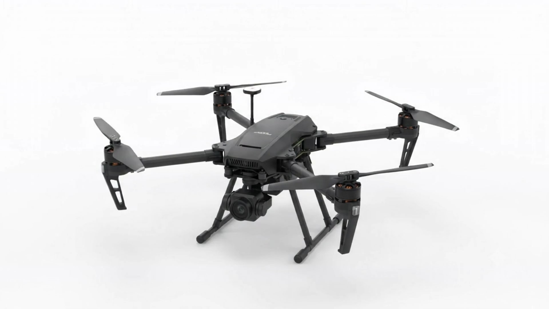
A drone separating into its components

Inside Embodied Intelligence
From perception to action, AI meets
the physical world

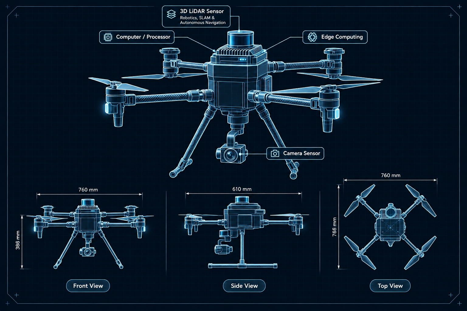
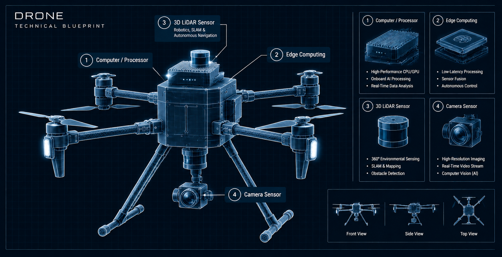
Drone technical blueprint: an illustrated drone with four numbered modules. 1, Computer / Processor: high-performance CPU/GPU, onboard AI processing, real-time data analysis. 2, Edge Computing: low-latency processing, sensor fusion, autonomous control. 3, 3D LiDAR Sensor, for robotics, SLAM and autonomous navigation: 360° environmental sensing, SLAM and mapping, obstacle detection. 4, Camera Sensor: high-resolution imaging, real-time video stream, computer vision (AI).
  • Front view of the drone, labelled 760 mm wide and 386 mm tall.
  • Side view of the drone, labelled 610 mm wide.
  • Top view of the drone, labelled 760 mm wide and 766 mm long.

Designed for
Aerial Intelligence

A modular architecture connecting mission understanding, spatial awareness, and bounded action within an independent safety framework.

Mission
Goals, constraints, and progress
Spatial
Scene geometry, visibility, and uncertainty
Feedback
Measured outcomes and next decisions
Safety
Bounded actions and independent controls

Intelligence That
Adapts to the
Mission

We're developing aerial systems that assess mission progress, identify missing observations, and evaluate what action should come next.

Spatial Perception

Interpreting sensor data to build a task-relevant understanding of the surrounding environment, including geometry, visibility, and uncertainty.

Mission Intelligence

Understanding mission goals and assessing progress to identify coverage gaps, incomplete observations, and what information is still needed.

Decision & Planning

Evaluating possible next actions and selecting useful viewpoints or mission adjustments within defined operational and safety constraints.

Bounded Action

Translating selected decisions into controlled flight actions through the onboard flight stack, with independent safety mechanisms enforcing operational limits.
Intelligence in the Real World.
Embodied AI connects perception, decision-making,
and action in the real world.

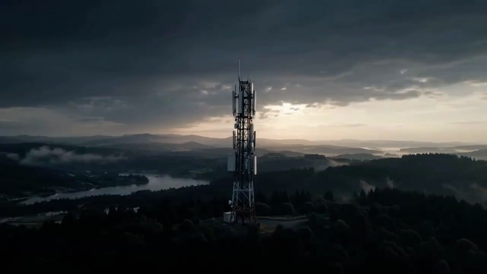
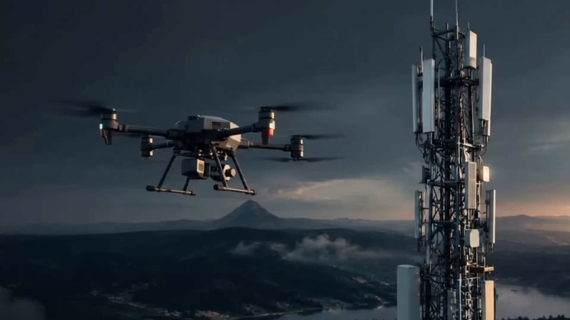
A drone inspecting a telecom tower, a bridge and a wind turbine
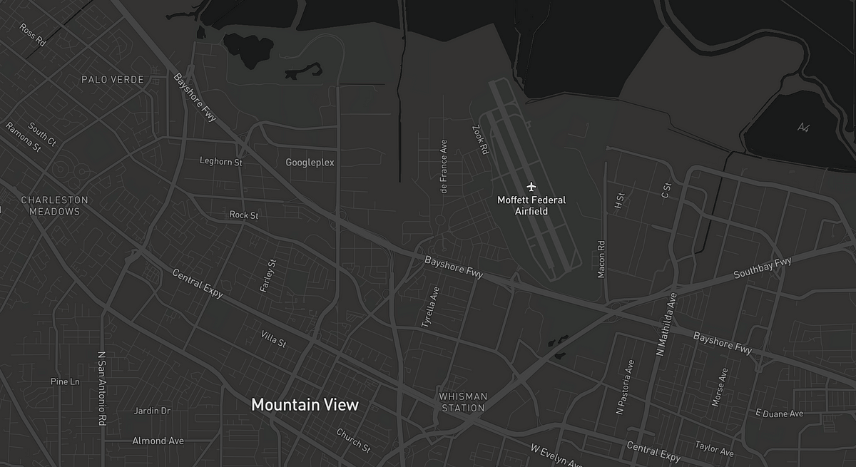
Map of the flight area
Speed
20 Km/h
Zone
Green

Distance
12 Km
Flight Time
12:24

Compass

83°

The same mission seen from the drone’s camera
Lens
25mm
ISO
600
Shutter
180.0
  1. Detect drone platform, sensors & available capabilities.
  2. Identify the drone’s native control interfaces and communication protocols.
  3. Convert the mission objective into actions the drone can execute.
  4. Perceive the tower, surrounding structures, obstacles, and flight conditions.
  5. Determine the optimal route, altitude, distance, and inspection angles.
  6. Execute the planned actions through the drone’s native systems.
  7. Analyze what the drone sees and identify areas requiring closer inspection.
  8. Change the flight path, position, or capture strategy based on what is detected.
  9. Evaluate image coverage, quality, and completeness as the mission progresses.
  10. Collect the imagery and data required to produce the desired inspection outcome.
  11. Confirm the objective has been achieved—not simply that the flight plan was completed.

Build a high-quality 3D model of this tower...

Drone

Frequently Asked Questions

What is IntPlatform?

IntPlatform is developing an embodied-AI intelligence layer for aerial robots, connecting spatial perception, mission reasoning, and risk-aware action.

How is aerial embodied AI different from traditional AI?

Traditional AI primarily processes digital information. Aerial embodied AI connects intelligence to physical systems that perceive, interpret, and act within real-world environments.

What makes IntPlatform different from conventional drone autonomy?

Rather than focusing only on flight execution, IntPlatform is researching mission-level intelligence: understanding objectives, assessing what has been observed, identifying missing information, and determining what to do next.

Can IntPlatform's system operate autonomously?

The platform is being developed toward more adaptive aerial autonomy, with decisions bounded by operational constraints and independent safety mechanisms. Its autonomy capabilities will be established through staged testing and validation.

What drones and environments is IntPlatform designed for?

The architecture is being designed for portability across supported UAV platforms. Initial research and validation focus on complex infrastructure environments, including telecommunications towers and antenna structures.
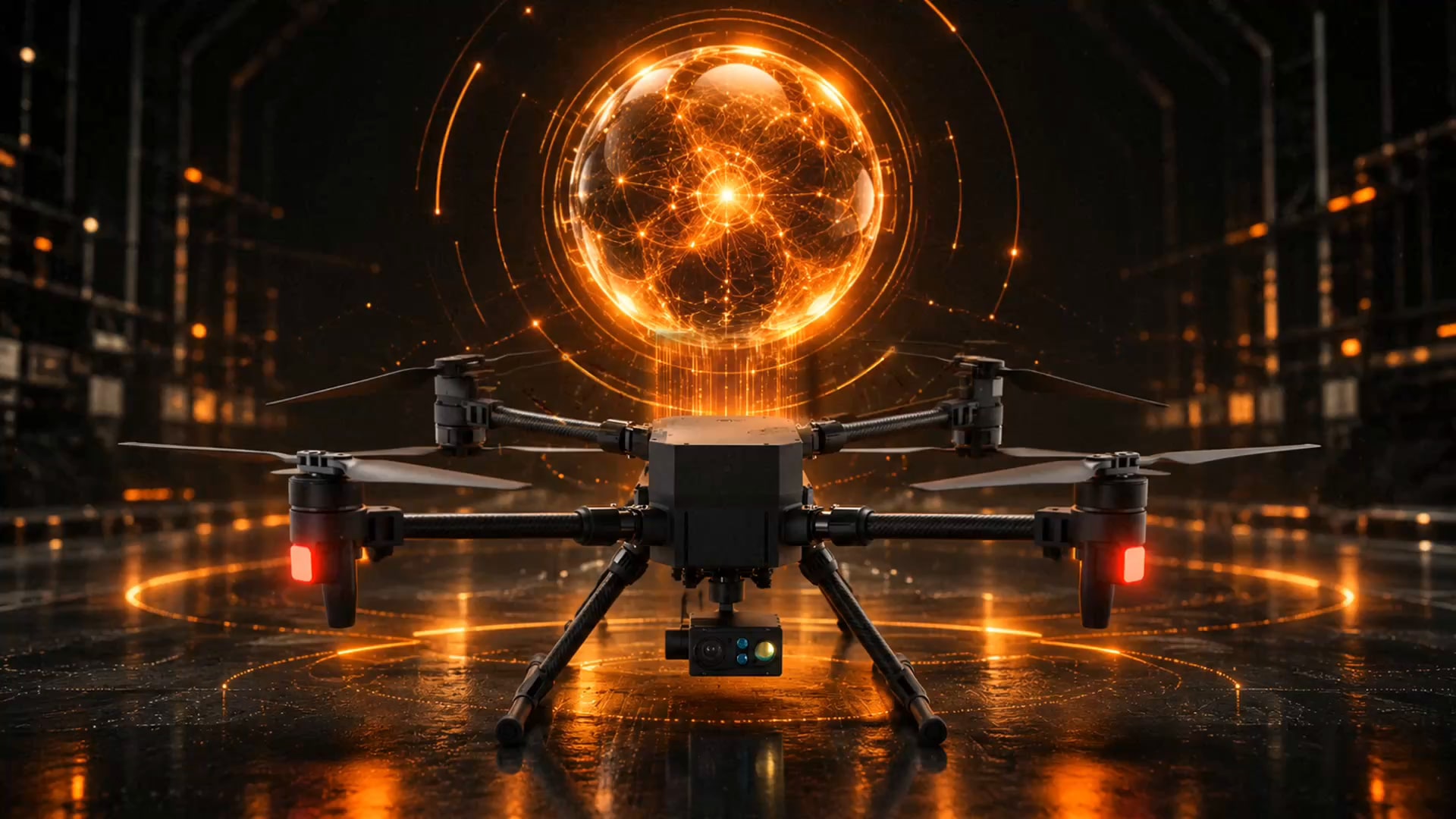
A drone hovering under a glowing orange sphere of light in a dark hangar.

IntPlatform

Drone Video

From Intelligence
to Action.

Discover how embodied AI transforms a physical machine into an intelligent, responsive system.